Zeitz, Jana Friederike
Jana Friederike Zeitz, M.Sc. Geography
(area of specialisation: Urban and Regional Development Management)

Studied Geography with specialisation on Urban and Regional Development at the Department of Geography, Ruhr University Bochum.
Research interests:
- The right to the city
- Social and spatial inequality
- Urban and neighbourhood development planning
- Housing market and allocation strategies
Contact:
Phone: + 49 (0) 231 9051-244
E-Mail: jana.zeitz@ils-research.de
Staatssekretärin Nick übergab Förderbescheide für das Projekt „FoodConnectRuhr“
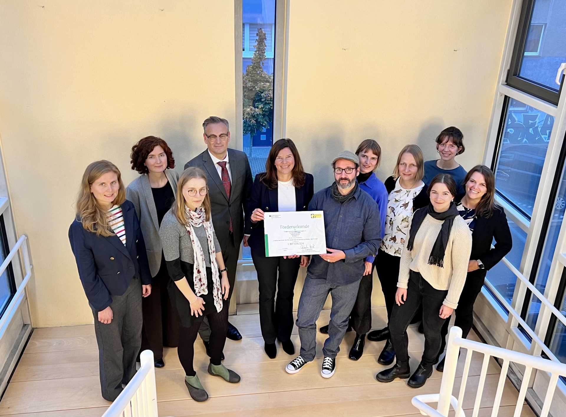
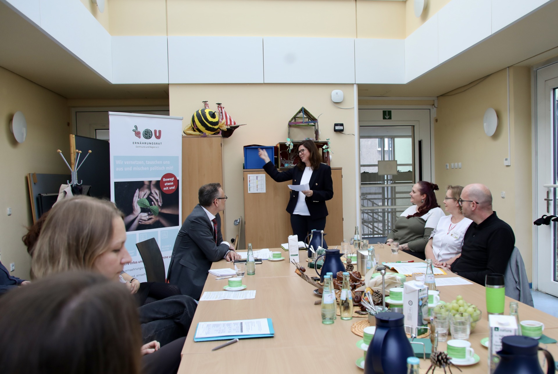
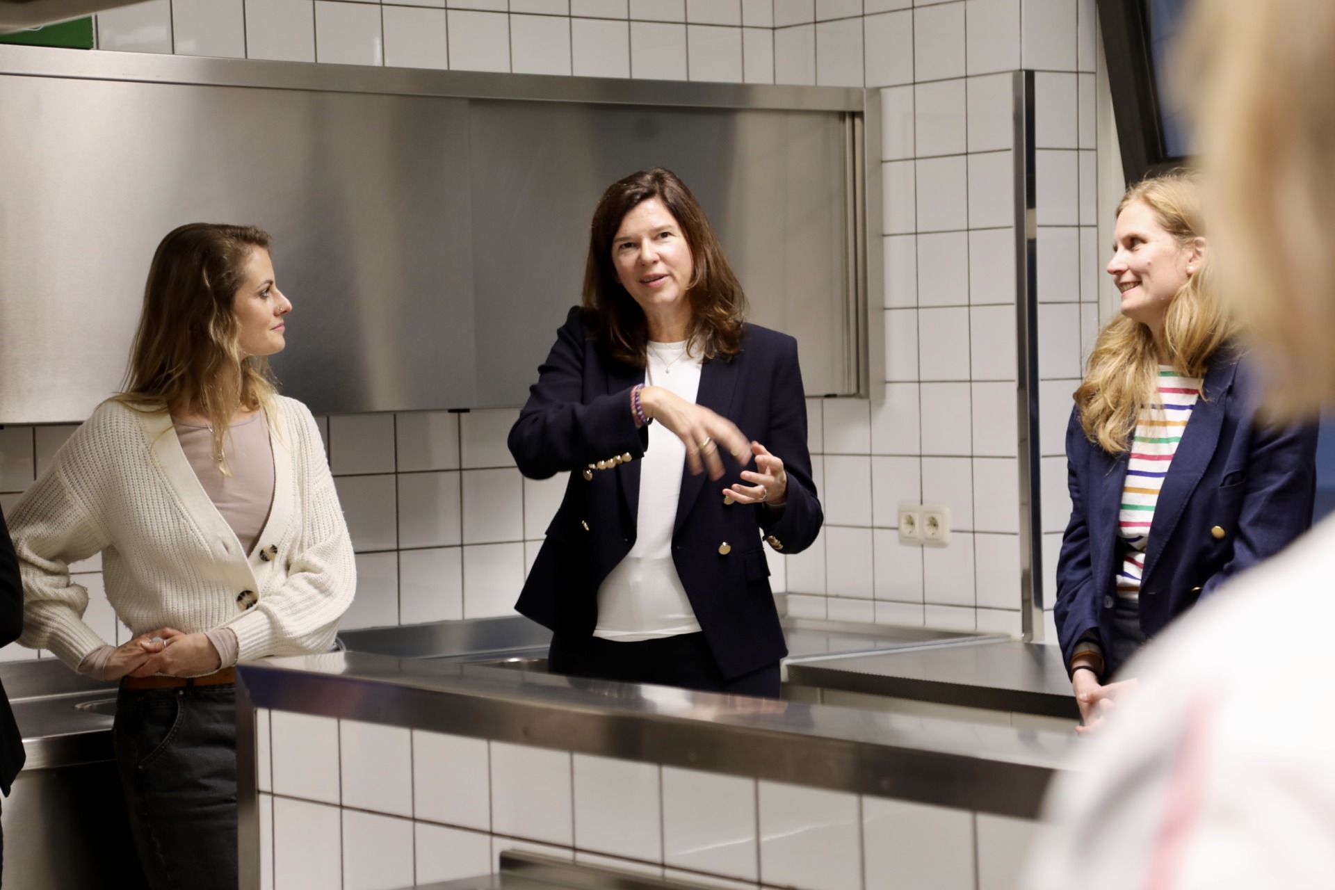
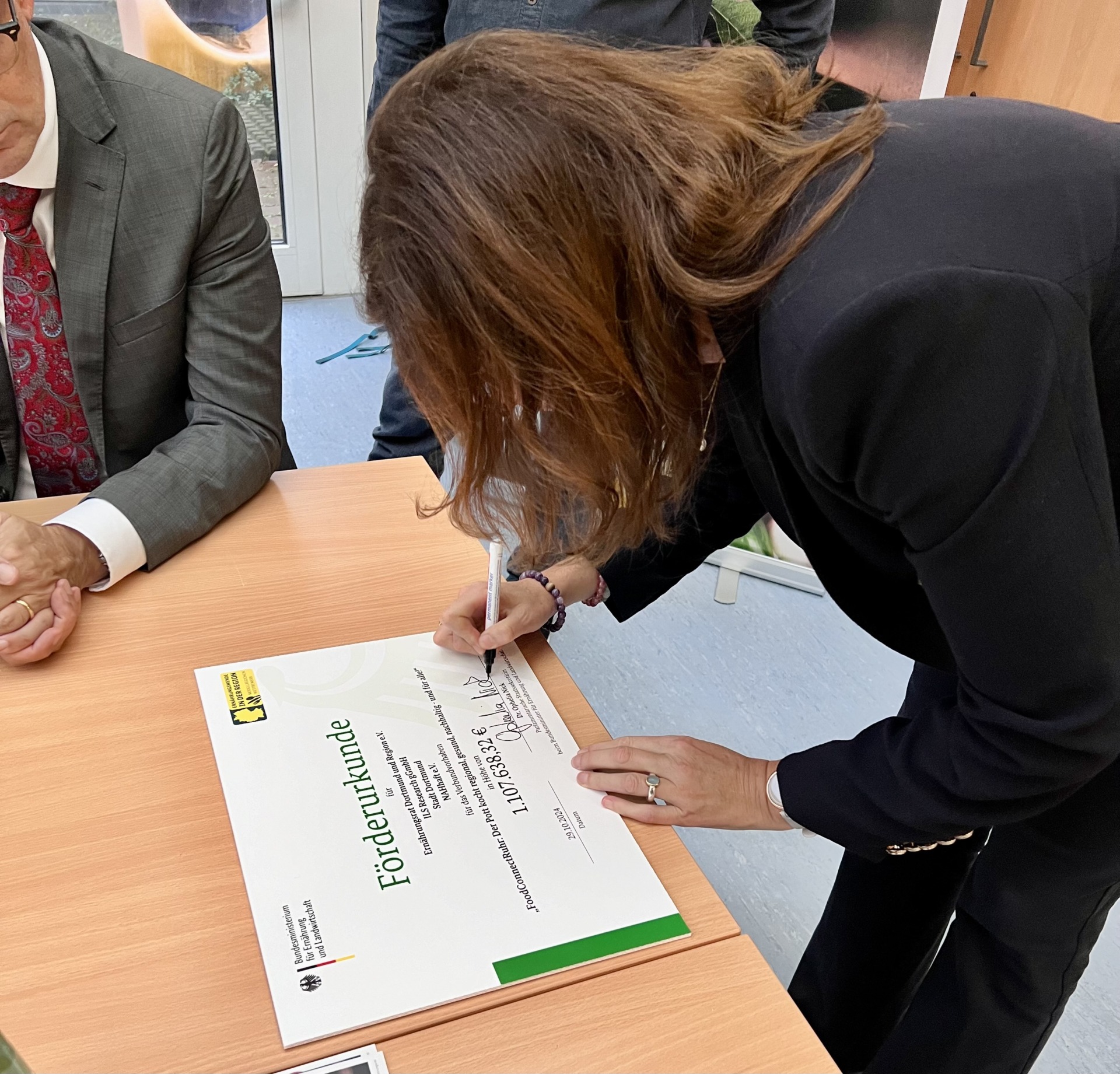
„FoodConnectRuhr: Der Pott kocht regional, gesund, nachhaltig – und für alle!“ – so heißt das Projekt, für das die ILS Research gemeinsam mit ihren Partner*innen jetzt den Förderbescheid des Bundesministeriums für Landwirtschaft und Ernährung (BMEL) bekommen hat. Die Verbundpartner des Projekts für Dortmund und die Umgebung erhielten von der Parlamentarischen Staatssekretärin Dr. Ophelia Nick die Förderbescheide in Höhe von insgesamt 1,1 Millionen Euro.
Dazu sagt Ophelia Nick: „Ein zentrales Ziel unserer Ernährungsstrategie ist es, den 16 Millionen Menschen in Deutschland, die täglich auswärts essen, ein gesundes und nachhaltiges Angebot zu machen. Dafür bringen wir mit dem Modellregionenwettbewerb unsere Landwirte, den Handel und Anbieter der Außer-Haus-Verpflegung zusammen. Das nutzt allen, denn es senkt Kosten, verbessert Abläufe und schafft Anreize für den Anbau der regionalen (Bio-)Landwirtschaft. Ich freue ich, dass mit ‚FoodConnectRuhr‘ nun bereits die sechste Modellregion an den Start geht.“
Ziel ist es „Vom Acker bis zum Teller“ Akteur*innen aus der Land- und Ernährungswirtschaft mit Lebensmittelverbraucher*innen zu vernetzen, um Angebot und Nachfrage nachhaltiger Lebensmittel innerhalb der Modellregion zusammenzubringen. In Kitas, Schulen und Krankenhäusern soll das Essensangebot gesünder und klimafreundlicher werden: Geplant ist, mehr Bio-, regionale und pflanzliche Lebensmittel in die Kantinen zu bringen. Speisepläne sollen attraktiver und die Lebensmittelverschwendung reduziert werden. Bei den Maßnahmen werden insbesondere einkommensschwächere Haushalte berücksichtigt, um möglichst allen Dortmunder*innen den Zugang zu gesundem Essen zu ermöglichen.
Die Stärkung eines regionalen, nachhaltigen Ernährungssystems im Sinne der Ernährungswende hat zahlreiche positive Auswirkungen auf Klima und Umwelt. Die durch das Projekt in der Modellregion geförderte ökologische Landwirtschaft setzt weniger Energie ein als konventionelle Landwirtschaft und reduziert den Ausstoß von Treibhausgasen (THG), die humusfördernde Bewirtschaftung der Böden trägt zusätzlich dazu bei, CO₂ aus der Atmosphäre zu entnehmen. Die Böden werden so geschont und bleiben fruchtbar. Das fördert auch den Wasserkreislauf und die Artenvielfalt.
Veränderungen in der Außer-Haus-Verpflegung (AHV) gelten als Schlüssel für das 30-Prozent-Bio-Flächen-Ziels des Bundes, das er in seiner „Bio-Strategie 2030“ verankert hat. Denn die erhöhte Nachfrage nach heimischen Bio-Produkten setzt Anreize für die Landwirtschaft, Flächen biologisch hochwertig zu bewirtschaften. Saisonale Lebensmittel kommen ohne beheizte Gewächshäuser aus. Lebensmittel werden innerhalb der Modellregion vermarktet und haben dadurch kürzere Transportwege, die weniger CO₂-Emissionen verursachen. Zudem werden die Wertschöpfung und die Kreislaufwirtschaft in der Region gestärkt und somit (klima-)resiliente Ernährungssysteme in Dortmund und Umgebung aufgebaut.
Für das Projekt haben sich der Ernährungsrat Dortmund und Region e.V., die ILS Research gGmbH und NAHhaft e.V. und die Stadt Dortmund zu einem Konsortium zusammengeschlossen. Der Ernährungsrat Dortmund und Region e.V. übernimmt die Projektleitung. In ganz Deutschland erhalten bis zu zwölf Regionen eine Förderung von insgesamt rund zwölf Millionen Euro. Mehr zum Modellregionenwettbewerb finden Sie hier.
Kontakt im ILS
Dr. Barbara Schröter
Telefon: +49 (0) 231 9051-231
E-Mail: barbara.schroeter@ils-forschung.de
Ann-Kristin Steines
Telefon: +49 (0) 231 9051-215
E-Mail: ann-kristin.steines@ils-forschung.de
Cultivating change: Exploring policies, challenges, and solutions to support city region food systems development in six European countries
Ann-Kristin Steines, Anna Wissman, Kathrin Specht und Chiara Iodice aus der Forschungsgruppe „Raumbezogene Planung und Städtebau“ haben mit weiteren Beteiligten einen Aufsatz in der Zeitschrift „Cities“ veröffentlicht. Der Artikel thematisiert im Zusammenhang mit CFRS (City Region Food System/Ernährungssysteme in Stadtregionen) die Fragen, wie sich (inter-)nationale politische Systeme auf die städtische Lebensmittelproduktion auswirken und wie Interessenvertreter, Forscher und Praktiker die aktuelle Politik auf multinationaler Ebene wahrnehmen und welche Strategien, Herausforderungen und Lösungen es zur Unterstützung der Entwicklung von Ernährungssystemen in Stadtregionen gibt. https://doi.org/10.1016/j.cities.2024.105498. Weitere aktuelle Fachpublikationen finden Sie hier.
Urban-rural migration in Germany: A decision in favour of ‘the rural’ or against ‘the urban’?
ILS-Wissenschaftler*innen Frank Osterhage und Cornelia Tippel haben gemeinsam mit weiteren Kolleg*innen einen Artikel im „Journal of Rural Studies“ veröffentlicht. Darin geht es um die Veränderungen der Binnenwanderung zwischen 2000 und 2021 sowie die mittels einer deutschlandweiten Bevölkerungsbefragung ermittelten Gründe, aus denen Haushalte zwischen Mitte 2015 und Mitte 2020 von städtische in ländliche Gebiete umgezogen sind. https://doi.org/10.1016/j.jrurstud.2024.103431. Weitere aktuelle Fachpublikationen finden Sie hier.
From policies to outcomes: multi-level analysis of the influence of regional planning on land take.
Sebastian Eichhorn aus der Forschungsgruppe „Mobilität und Raum“ hat einen Artikel in der Fachzeitschrift „European Planning Studies“ veröffentlicht. Der Beitrag präsentiert die Ergebnisse einer Mehrebenenanalyse, mit der die Auswirkungen regionaler Planungsvorschriften und lokaler Interessengruppen auf die Flächeninanspruchnahme für Wohnzwecke unter Berücksichtigung unterschiedlicher Kontextfaktoren untersucht wurden. https://doi.org/10.1080/09654313.2024.2412216. Weitere aktuelle Fachpublikationen finden Sie hier.
ILS-IMPULSE 01/24: Wohnungslosigkeit überwinden durch Housing First?
Eine Wohnung für alle!? Die Bundesregierung hat sich im Nationalen Aktionsplan gegen Wohnungslosigkeit das ambitionierte Ziel gesetzt, Obdach- und Wohnungslosigkeit bis zum Jahr 2030 zu überwinden. Der Plan greift unter anderem das Konzept Housing First – das bedingungslose Angebot einer eigenen Wohnung an Wohnungslose – als wichtigen Eckpfeiler auf. Die beiden ILS-Wissenschaftler*innen Lea Fischer und Dr. Michael Kolocek stellen im ILS-IMPULSE das Konzept genauer vor. Mehr…

